Before we kicked started our new topic which is all about Kolkata, a city in India, we recapped our Year 1 learning about the UK.
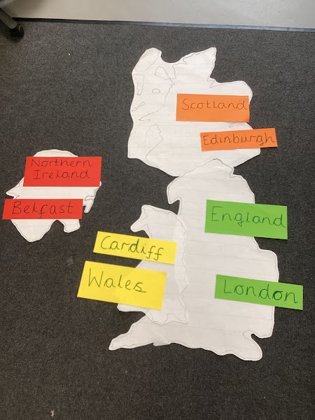
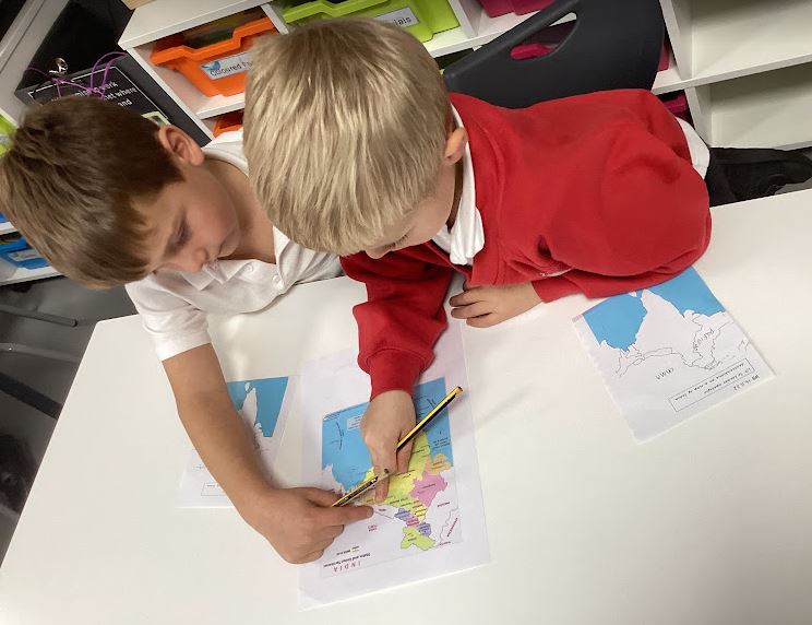
We worked collaboratively, just like Team Ant, to put the four countries of the UK together, using a map to help us. We discussed which country is the largest and smallest and that the UK is an island because it is surrounded by water. We then recapped the capital cities of the four countries.
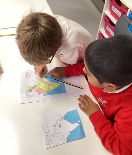
We then used Digi-maps (an online map) to locate Leeds on a map of the UK and we even found our school! We then zoomed out of Leeds, the UK and even out of Europe, until we located India.
We noticed that India is a lot larger than the UK. We used the map to zoom in on Kolkata.
We then used a map of India to find out which countries surround it and used these to locate them on our own map.
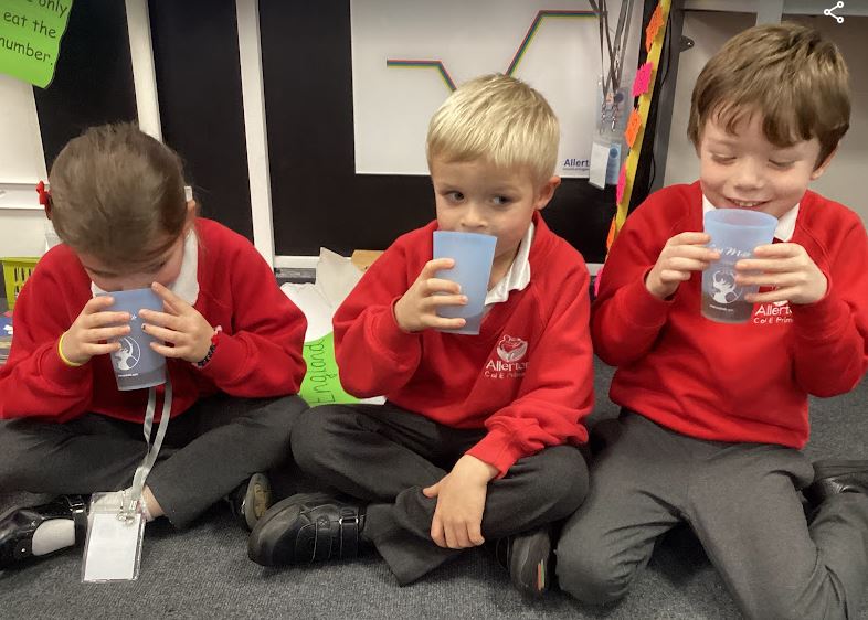
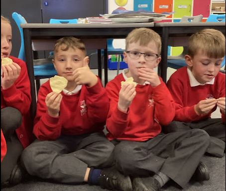
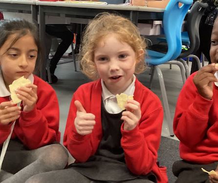
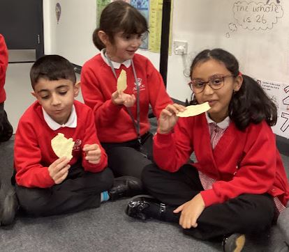
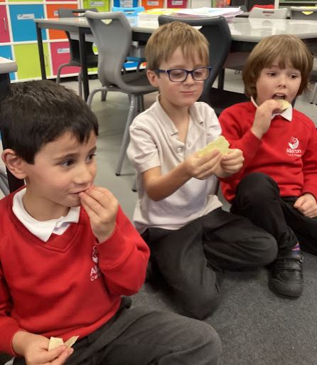
We then enjoyed sampling some chai and poppadoms!